Well, this was a hike for the record books. You know that saying “80% percent of all accidents happen on descent”. Well, it occurred. I am realistic person, the more times you do something the higher your probability increases for something to happen. The great news we were prepared and didn’t miss a beat… just a step — literally. 🙂
But, let’s start with the trail.
Davis Path up to Mount Crawford.
What can I say, during this hike I was forced to think of history. The idea of what it was like to hike during the 1900’s. My father has hiked pretty much every mountain in the Whites and probably has read every book about the Whites. I learned about the history of certain trails from him over phone calls, dinner, runs and time on the couch. Some of the stories made me want to read more about trails we hiked, planned to hike, or currently looking at hiking.
History-wise, what can I say — the Crawford’s set a way for hikers to get to Mt. Washington. They were not the only family to do so, but I’m amazed at what people accomplished during their time. There are numerous books on the matter. I suggest — all of them. Each book will help you understand different points of views of hiking during that time and how the idea of conquering high peaks was loved by Americans, but also Foreigners. The first death was a young man who thought he could take on Mt. Washington during the fall season. His name was, Frederick Strickland, a youth from England. Here is a little info on him.
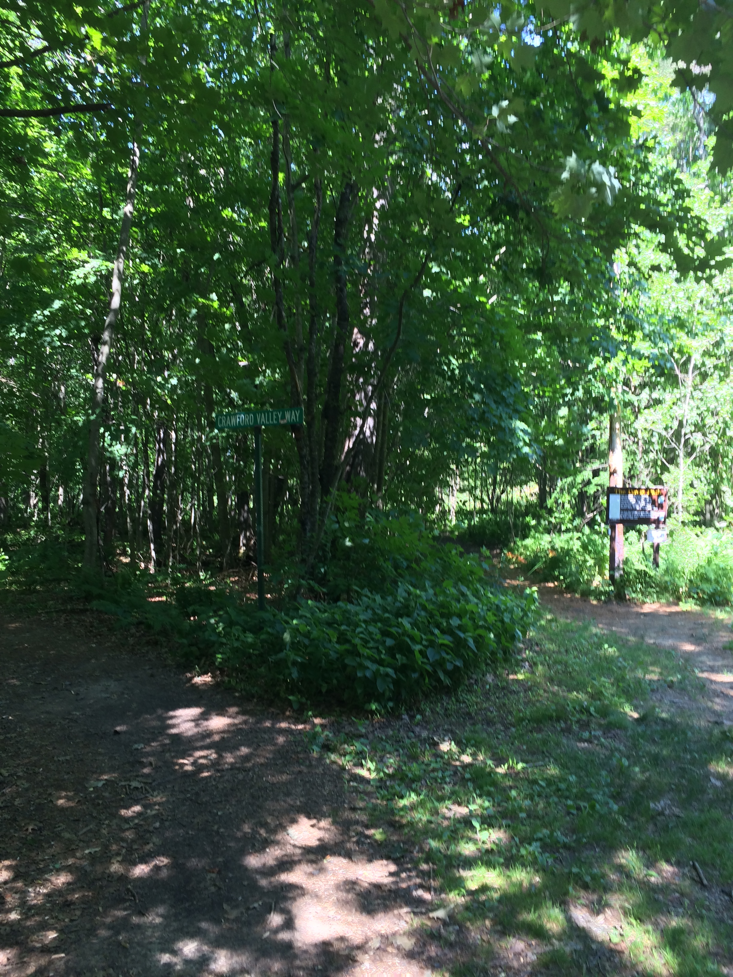
Anyhow, the Davis Path was maintained by Abel and Hannah Crawford. I said maintained, not built. The path was built by Nathaniel Davis, who has ‘some’ relation to the Crawford’s. Here is a trail sign.

First thing, outside your normal every day pack. Pack our whatever works for misquotes, flies, name it and it will come. Plan for it. The insects do not last the whole trip, but for about first half mile or so, they hang around. Then again the last half-ish, if you do a down and back.
The parking lot for this hike is just across the street from the Notchland Inn on Rt. 302. I have never stayed there, but you can check it out here. In addition, you can use it for directions to the parking lot. Just remember it’s across the street.
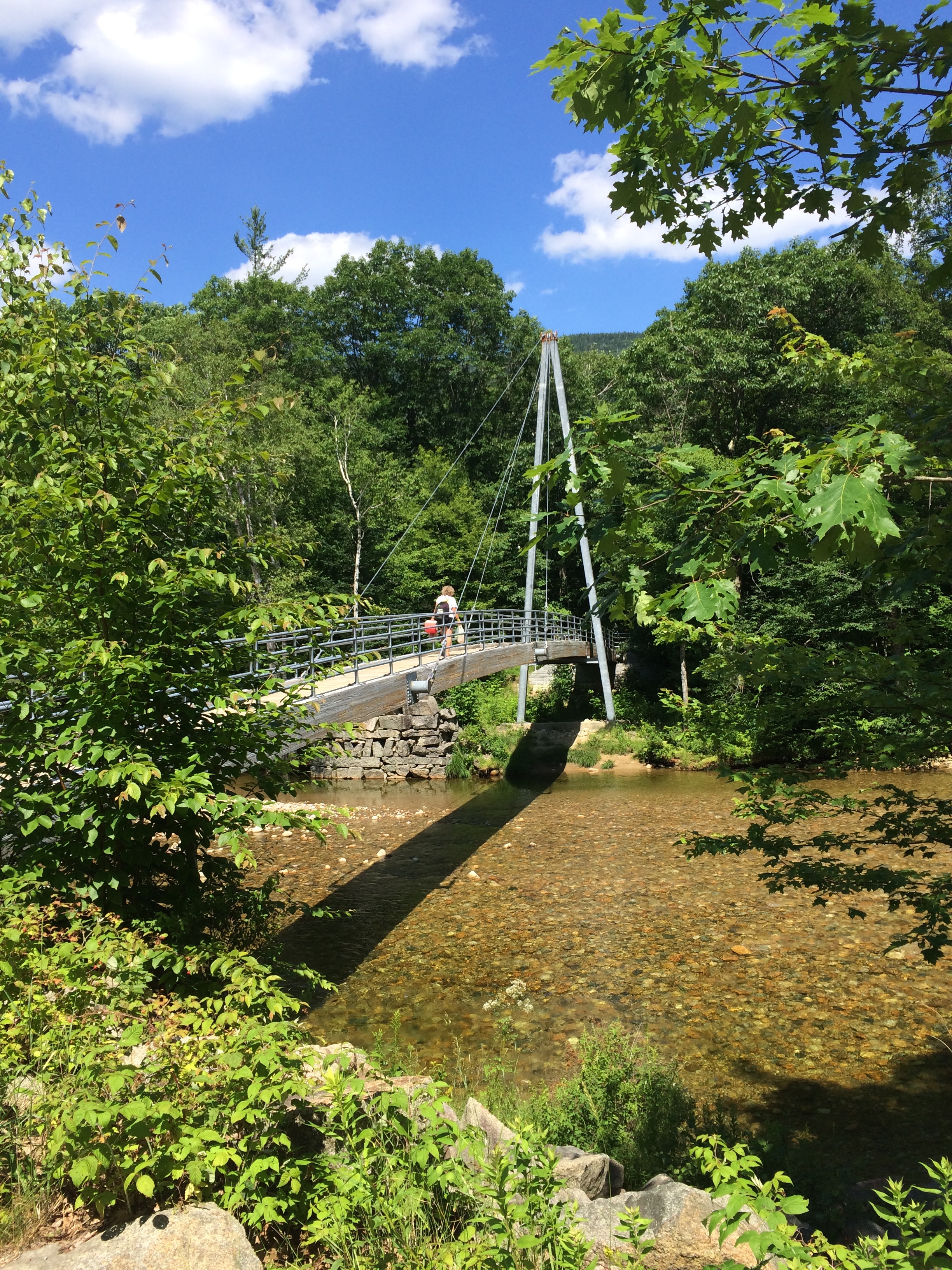
To get to the trail you will cross a bridge and follow the path. You will see a house to your right that is someone’s property, so be mindful. Keep to the right of the path when it folks.
You will travel over a few water crossings, the first is logged and the second two you are solo. So, pick your rocks and go.
Path up to the summit is a mix of earth and rock.

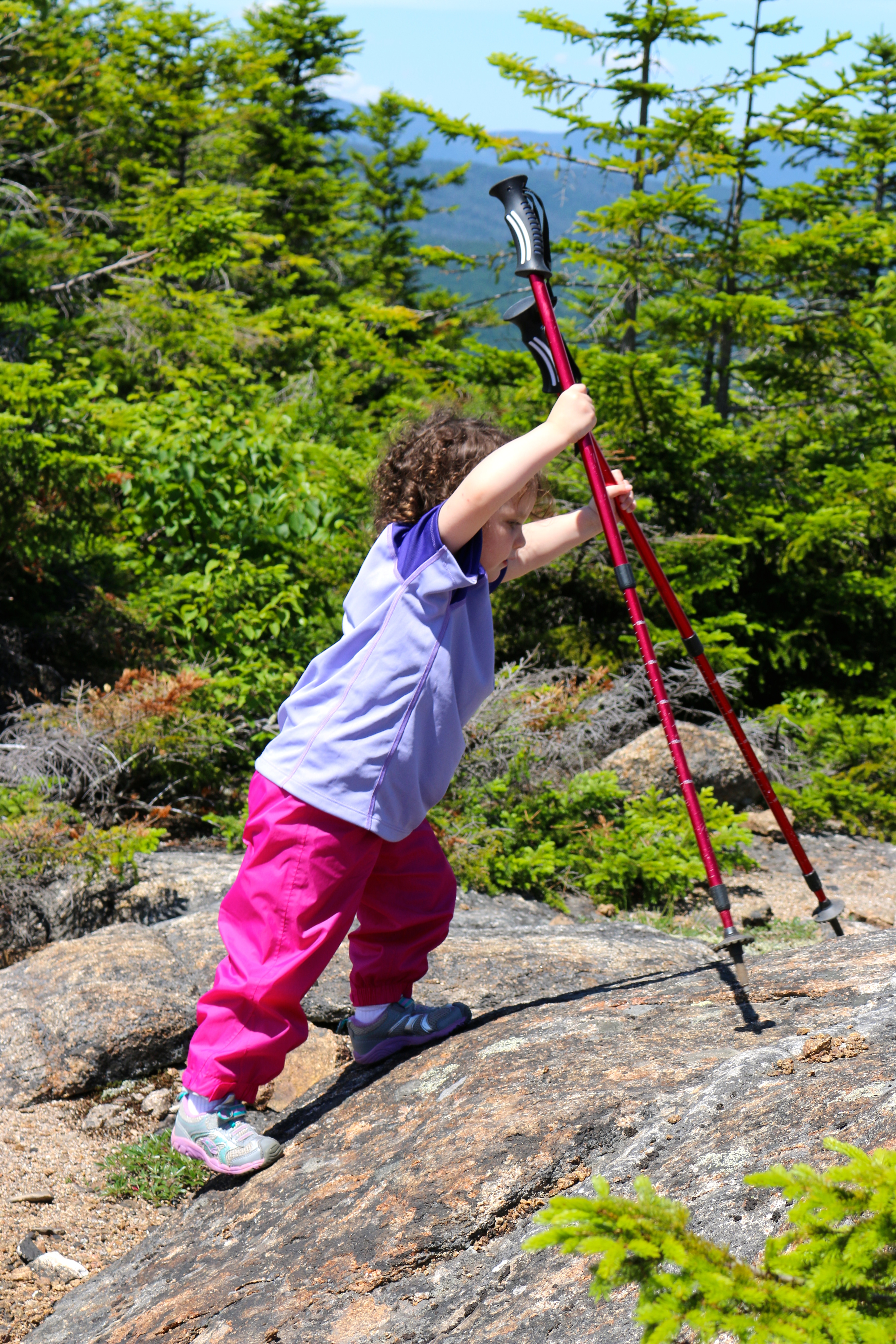
The mid-point of the trail is mostly rock and some rock stairs. Excellent workout 😉


After the rock stairs… you will come some rock facings and a bit of a clearing. This is a good point for a break or you can carry forward about a quarter-mile to a larger clearing. To get to this larger clearing you will have to ‘go off’ the path. You will guided by cairns, though. It’s a great place for lunch.
Our lunch break on the clearing…

The clearing, where we had lunch, seems to be were some folks get lost. We came across 3 different groups of hikers lost on the path. There are white markers on the rocks leading you to the summit. Some of the markers are worn down and you may miss them. The main marker you will be looking for — for the summit is the ‘sideways L’ or an arrow missing its shaft. I give both examples, since J and I interrupt the two connected lines differently. You will go right and follow the path to the summit. At this marker, if you go straight, you will head to the clearing, look for cairns.
Please, read your maps, being on a mountain is the last spot you want to be lost.
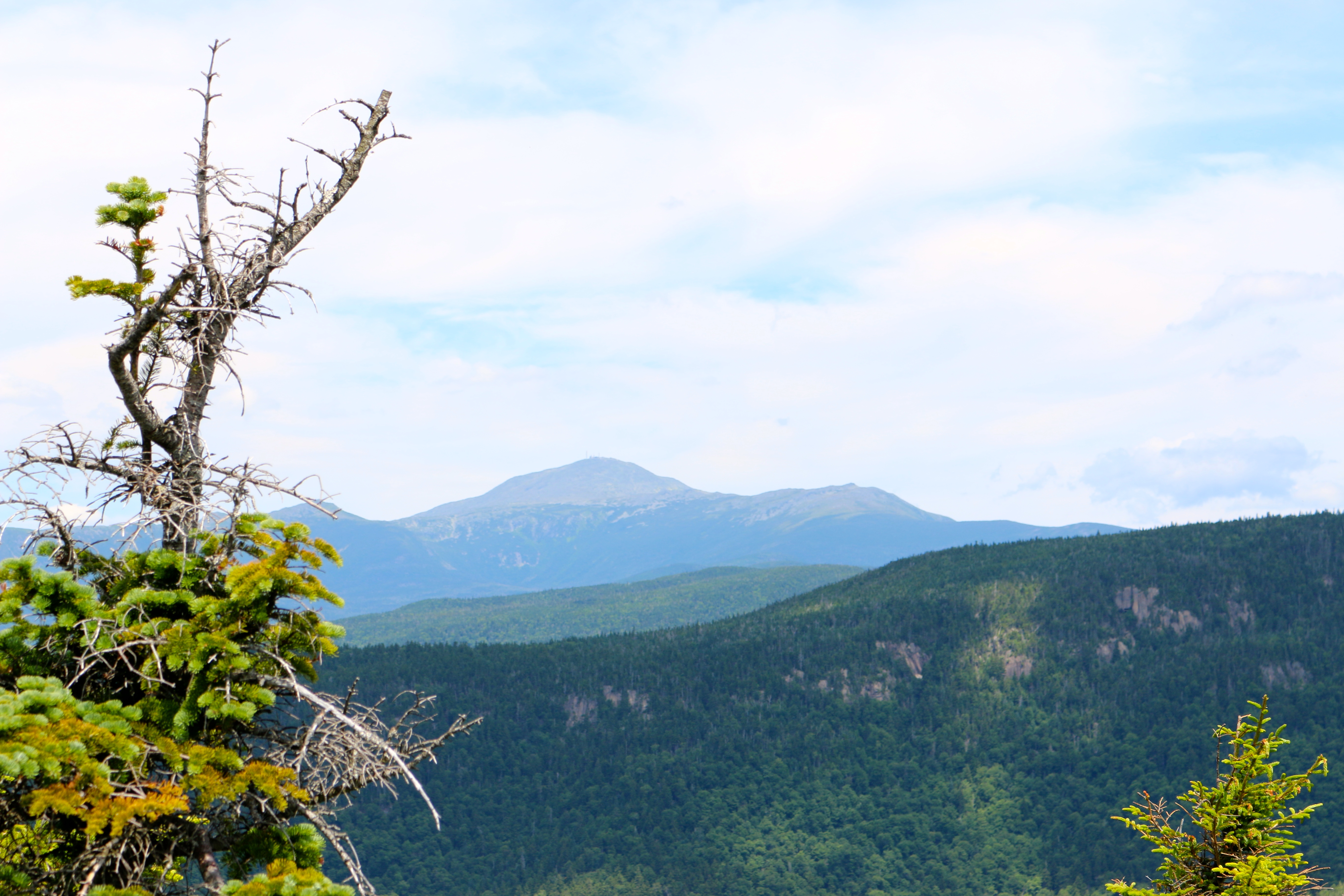
Hiking up to Mount Crawford is very worth the summit view.


The Descent
Here is where the “80% of all accidents happen on the descent” comes into play. Whether your descent accident happens from fatigue, dehydration, lack of energy, lack of focus, etc. It is important to avoid all those cases, but to be ready it when it happens. The probability that will happen increases the more you hike and the longer you hike. This is my first injury mountainside.
Descending was pretty easy until I missed stepped and I fell forward landing on the ground. Not bad, right? Wrong, the center of my knee ended up landing on a rock protruding out the ground. The words out of my mouth were definitely not pretty. I know those words will come back to haunt me in a few weeks when M repeats them. The good news, M thought is was fun, but more importantly she was 100% fine. The bad news, weight baring was very difficult and pretty painful.
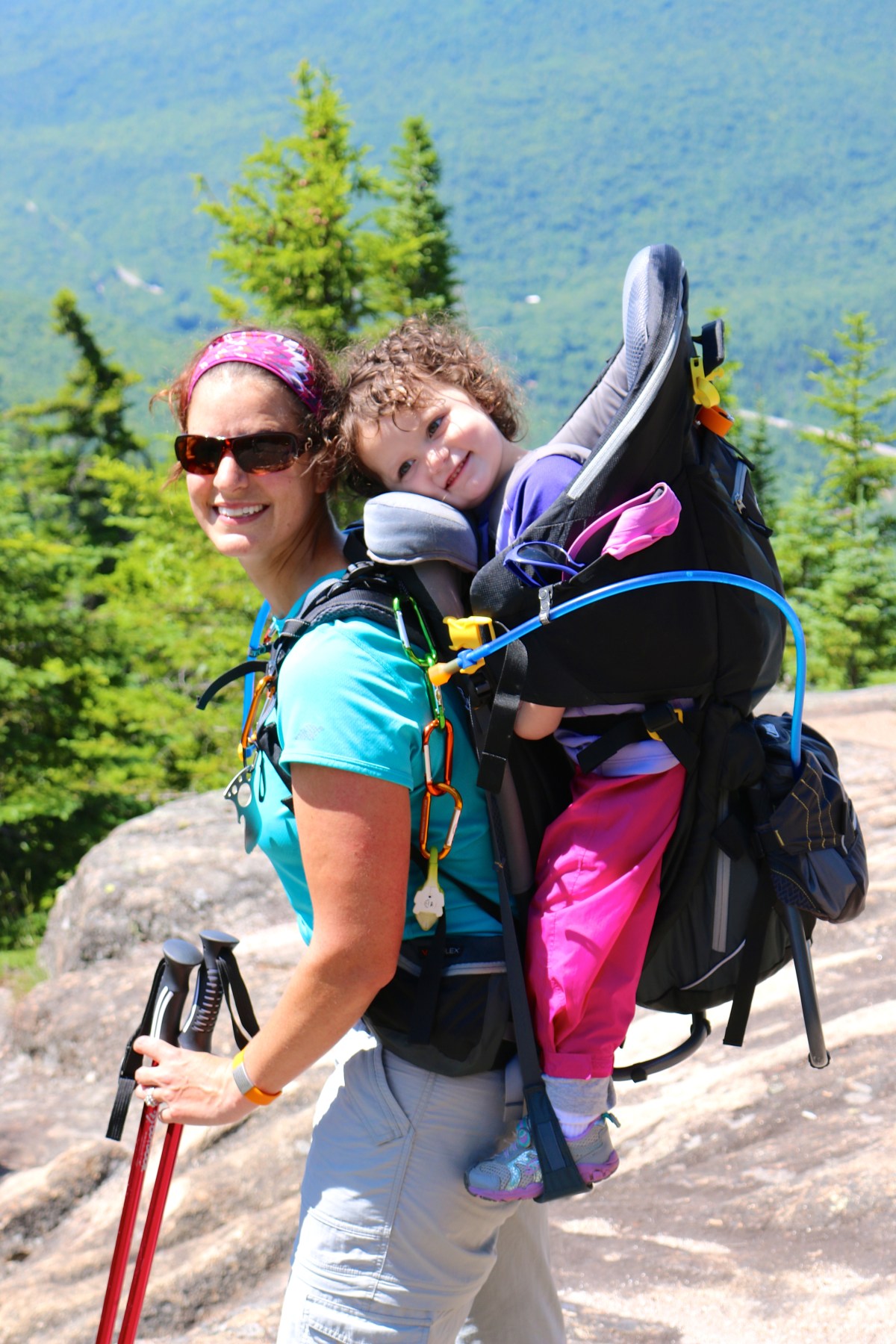
This is why, I always suggest when you hike with a toddler always, always have a hiking partner. If, you missed that blog, check it out here.
We treated my knee and I took some anti-inflammatory and pain medicine. Thankfully, we came prepared. The rest of the descent was hard for everyone. This is the first time in our hiking. I had to pass M off to J. That’s 2 years of hiking not a bad record. This seems like great idea, but M had a completely different idea about it. It got to the point that after the large rocky area of the path. I ended up taking M back. The additional stress was totally not worth it. By then, the pain meds were helping and I had a routine for descending.
I was a very happy camper to reach the car and dismount (as I like to all it) all of my hiking gear, place of my flip-flops and sit in the A/C. Here is the images of my knee from the fall.
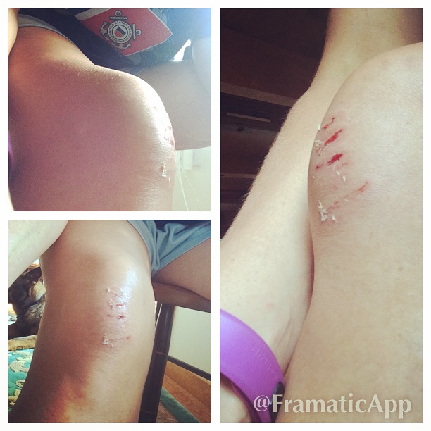
Further good news, I did not tear or break anything. However, I bruised the heck out of my knee cap and dealt with a ton of swelling. Two weeks later, I am still dealing with contact pain, but it’s pretty much healed up. I did hike last week up the Jewell Trail for “Seek the Peak”, but before that there was no running or long walks. Today, I am back to running and all activities. Thank goodness.
And yes, we made trip to restock our medical kit. And, yup, I am behind on my blog 🙂 lol.
