Mount Waumbeck is location in Lancaster, Jefferson, Coos County, New Hampshire. Jefferson is a very pretty town. If you can, I highly suggest adding some time here to stop by the museum and statue.
Mount Waumbeck is part of the 48 4,000 footers in New Hampshire. Learn more about Waumbeck. There are a few ways to access this peak. We took the shortest route via Starr King Trail. It is direct and to the point, but do not take that lightly, after all you are hiking in the White Mountains.
Starr King Trail is located off of Starr King Road in Jefferson, NH. Starr King Road is off of Cottage Road accessed via Route 2. Map of location.
Starr King Trail to the summit of Starr King is 2.6 miles. The hike is at incline, but gradual with a handful switchbacks. The terrain is very easy for the White Mountains. At the 1/4 mile into the ascent or so, you will pass a well. This is a good land-marker for your descent if you plan to return the same way.
A few images to Starr King Trail:
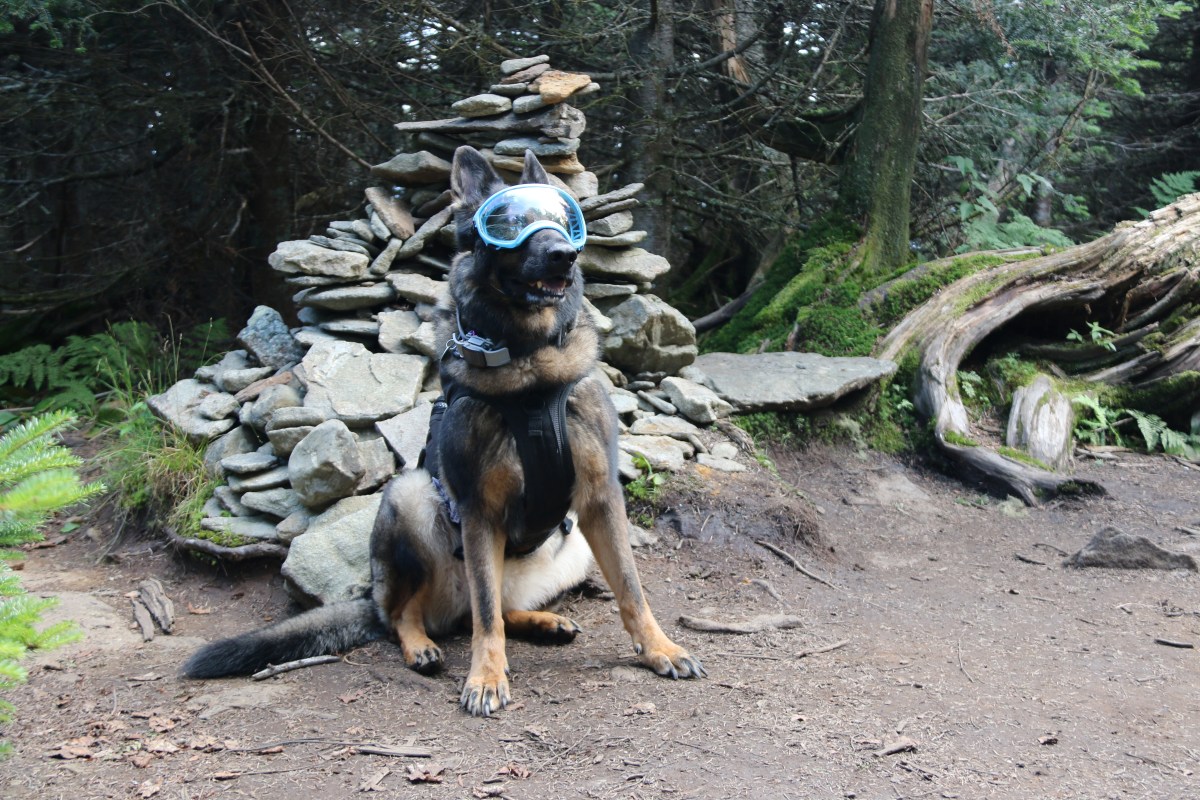
Summit of Starr King
Starr King is a good location to stop, rest and have lunch. Of course, the Admiral chatted through the whole break.
The trail to Mount Waumbeck from Star King is roughly 1.1 miles. The ridge walk is rather flat and very straight forward.
The summit of Mount Waumbeck is below tree-line, but it a very nice walk on what could be a rainy day. The rain came shortly after our summit of Mount Waumbeck. It made the descent somewhat slippery, but manageable. Though, in a downpour the trail could get really muddy and the moss very slippery rather quickly.
Mount Osceola is a 4,315-foot peak, located in the White Mountain National Forest, New Hampshire. Mount Osceola is named for the early-19th century Seminole leader.
There are two ways to reach the summit of Mount Osceola. One is from Greeley Pond Trail to the northeast of the mountain, which requires crossing the East Peak of Osceola first or from Tripoli Road to the south. We took the southern ascent via the Mount Osceola trail, which is a 3.2 mile/5k trek to the top, 6.2 mile/10k round trip.
The trailhead is off of Tripoli Road in Waterville Valley, NH. You can access the road off I-93 exit 31. *Note: this road is closed from November to May* Travel roughly 6.7 miles on Tripoli Rd to the trailhead. The trailhead is located on the left with parking. *There is a fee for parking for those that do not have a yearly parking pass.*. Tripoli road is paved then becomes a gravel a few miles into the woods. You will pass various camping grounds during the summer it is rather busy so be cautious.
Trailhead sign
The trail is one of the easiest we have done. There were not many areas that would be problematic for a family hiking with a child. It is a far cry from the ‘death match’ hike of Mount Carrigain, via Signal Ridge Trail. There are a few areas near the summit that you will enjoy a few views and good breezes. In addition, compared to Mount Carrigain the trail path is not so rocky and a good 3 feet wider in certain areas, which is helpful when allowing people to pass.
Here are some images along the trail to the summit.
Abby on the trailAbby on the trailThe girls on the trail
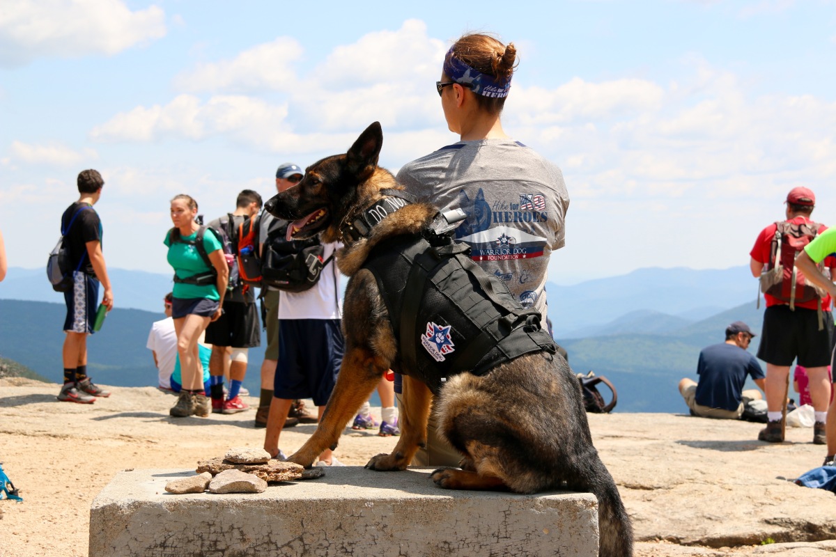
Our objective with this hike was to train Abby, our rescue canine. This trail is busy, very busy with people and dogs. The climb is rather easy but all the traffic of people and dogs is a great way to solidify training. There were “reactive” dogs on the trail, which was very helpful for training and a few people who were terrified of dogs. As I said, the trail is very busy and wide, which is great for real life training.
The trail is rather straight forward, a basic up and back with a few switch backs to keep the incline easy to handle. Some part of the trail are under reconstruction, but there are no hurdles to worry about.
Trail reconstruction sign
As you approach the summit, you will face some rock facings. A few of the facings the incline is rather step and can be very hazardous when wet. You can either go hand over feet or work your way along the side and up. I highly suggest to plan accordingly.
As you approach the summit there is a path to your left, climb up the rock and look out. You will be able to see Mount Washington and the Presidential’s on a clear day. Double back and take the path to the summit. The path to the right on your approach leads you to summit, too. We suggest skipping that path the approach from the path straight ahead is way better.
We were not able to find the summit marker for this mountain, but normally with fire tower mountains, we have found there are no summit markers.
If you are looking for an easy up and down with beautiful views this is your mountain. If you are hiking with kids it is definitely something you can do as a family and if you are traveling with a child on your back, it’s a walk in the park compared to other White Mountain trails.
Here are some summit images…
As usual, please remember to leave no trace especially in areas where bears are more prone. Safety first.